Certificate No. 58368
Series of maps on demographic indicators of sustainable development of NKR
21.05.2025
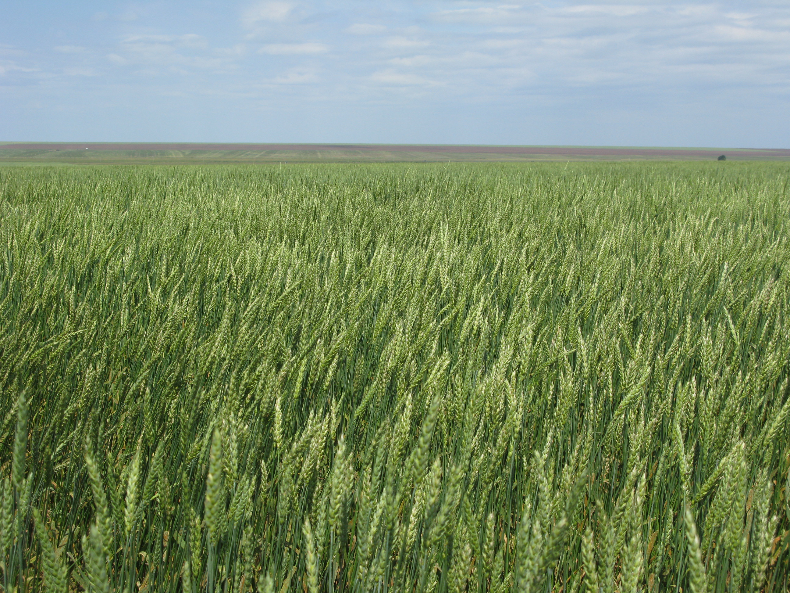
BR 24993222 "Building a Decision Support System for Natural and Economic Development of the North Kazakhstan Region in the Context of Sustainable Development"


Training "Success strategies in international journals"
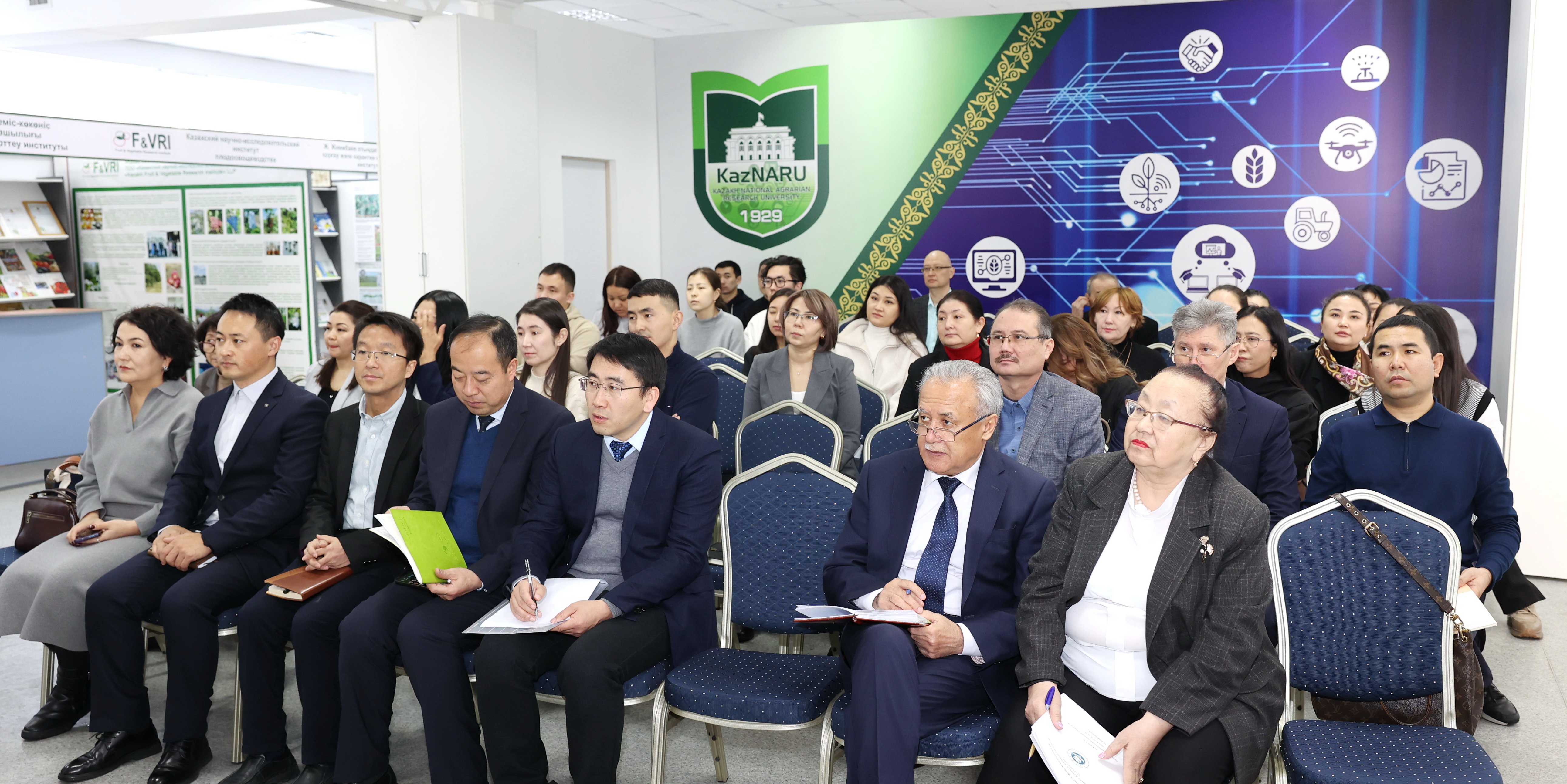
On November 5, 2025, on the basis of the Kazakh National Agrarian Research University (KazNARU), within the framework of the implementation of the IRN BR24993222 program "Construction of a decision support system for the natural and economic development of the territory of the North Kazakhstan region in the context of sustainable development" a training was held.
The speaker of the training was a scientist from Lanzhou University (PRC) - Jing Xiaoping.


On July 9, 2025, the International Seminar
On July 9, 2025, an international seminar was held on the problems of sustainable development of tourism in the North Kazakhstan region and the experience of the formation of the tourism industry in various countries. The seminar was initiated and organized by researchers of the PCF program BR 24993222 "Building a decision support system for the natural and economic development of the territory of the North Kazakhstan region in the context of sustainable development" Biribay Elmira Sartaykyzy and Tusupova Bayan Khalelovna.
Read More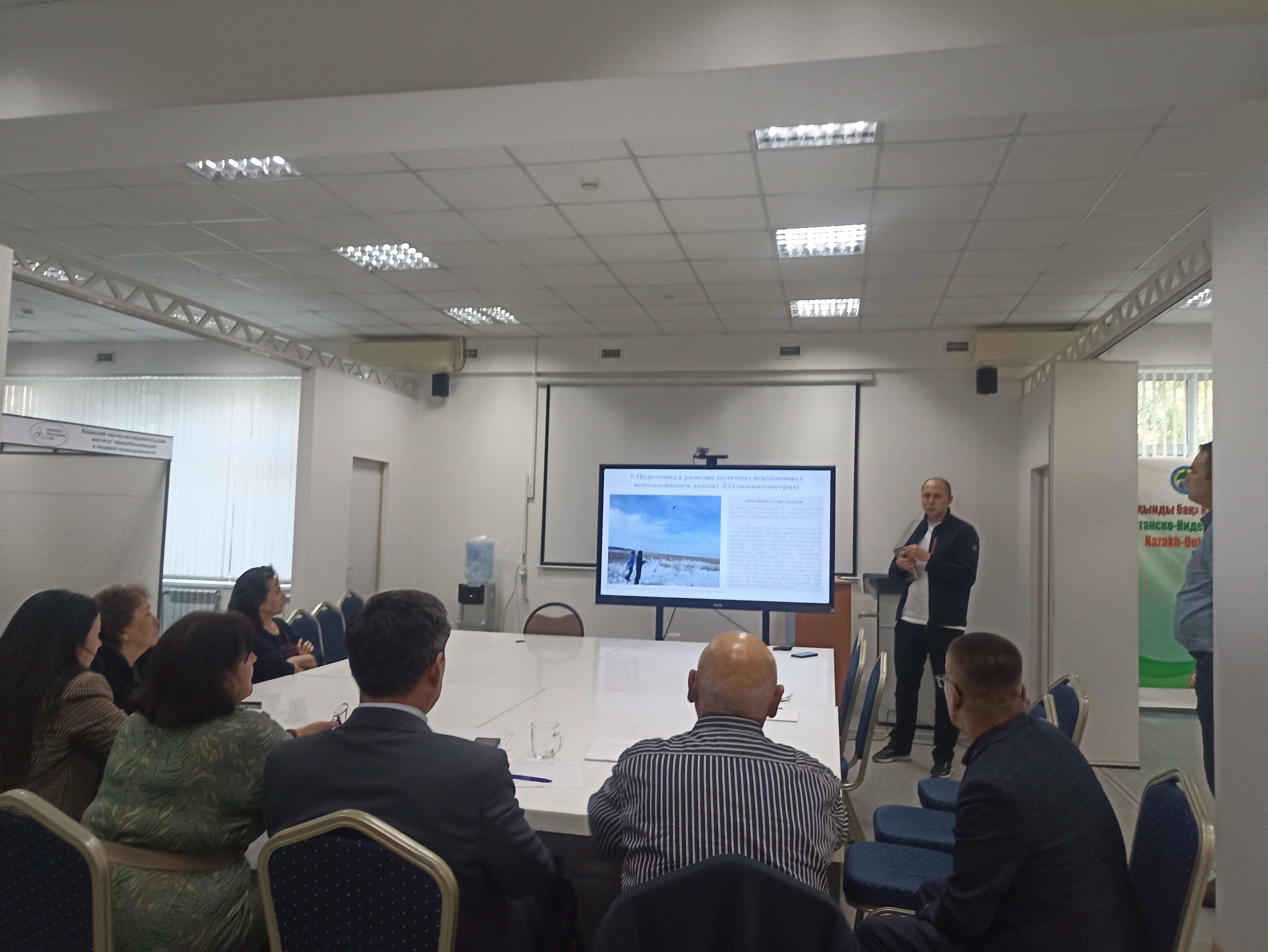

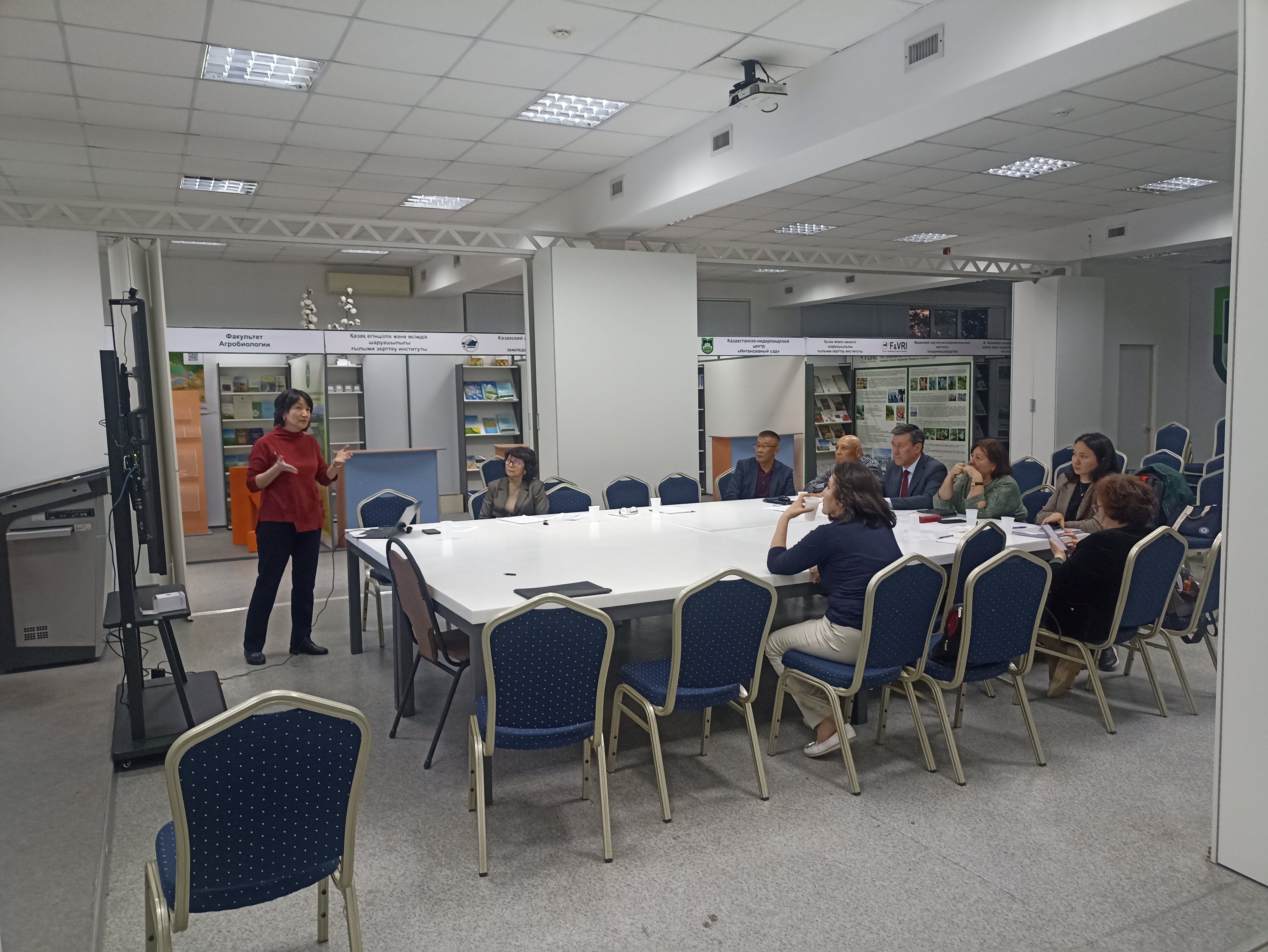
Q1 2025 Reporting Meeting
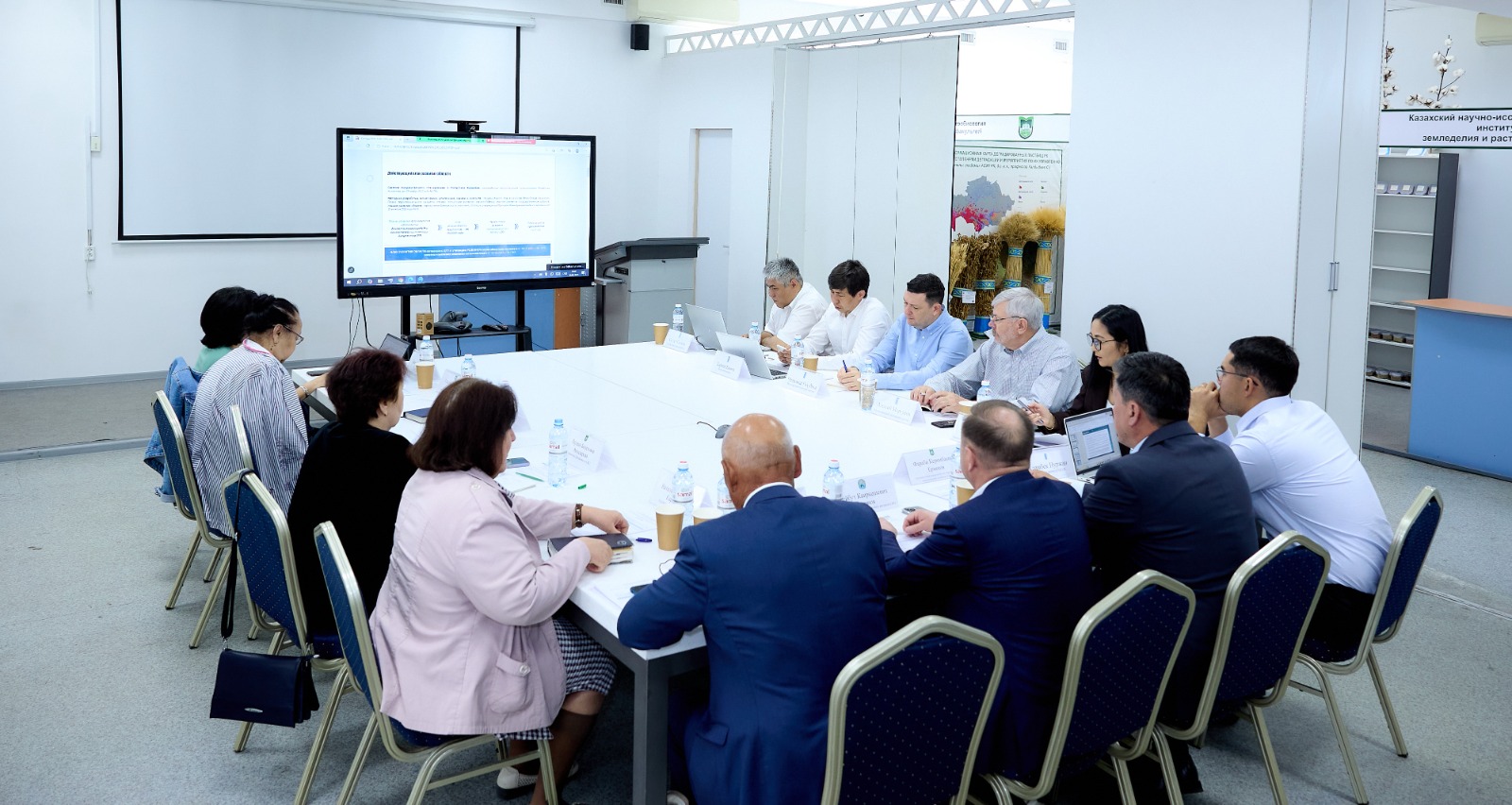
On April 25, 2025, a reporting meeting was held on the results of the first quarter of 2025 on the basis of the Kazakh National Agrarian Research University (KazNAIU) as part of the implementation of the BR 24993222 program "Building a decision support system for the natural and economic development of the territory of the North Kazakhstan region in the context of sustainable development."
During the meeting, the program coordinators heard reports from the heads of scientific groups in areas (land resources, labor resources, agroclimatic resources, water resources, ecology, subsoil use, tourism, land development, economic analysis, transport and communications, melt water, remote sensing and cartography, as well as other performers), including NPPCH named after A.I. Baraev.
Following the meeting, reports for the first quarter of 2025 were adopted and approved.
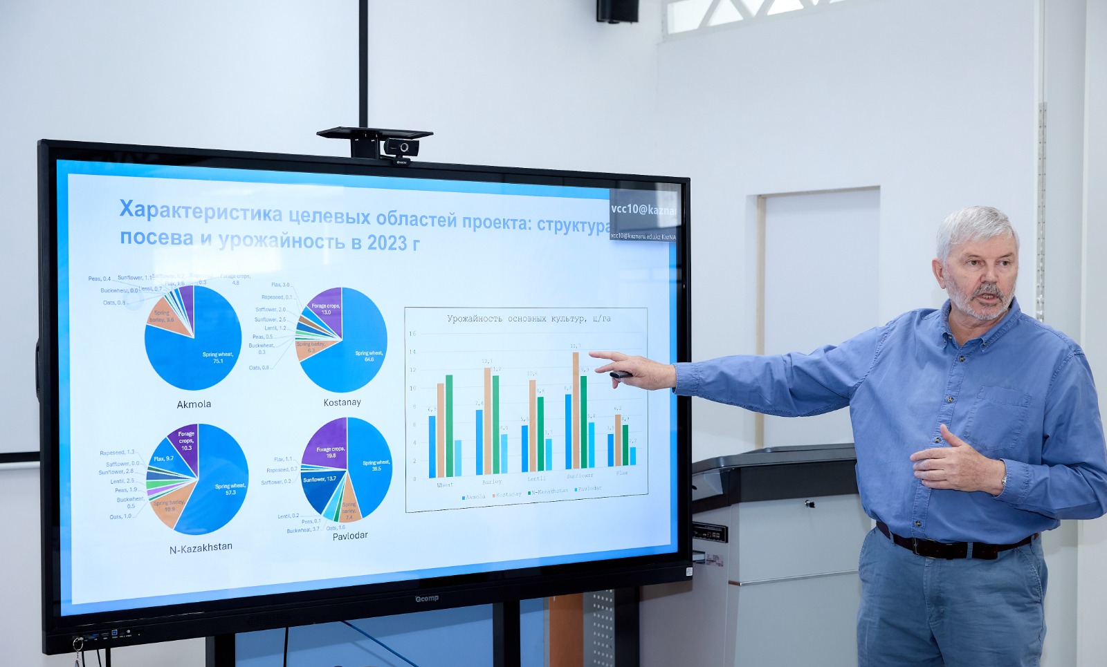

Workshop 29-30 May 2025
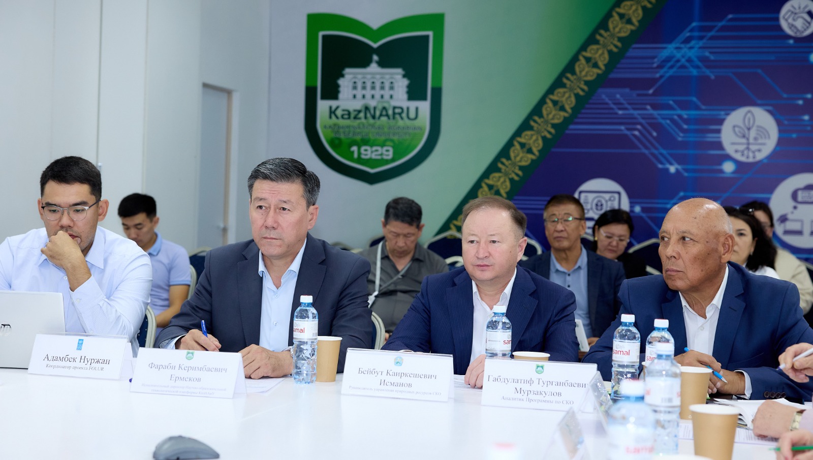
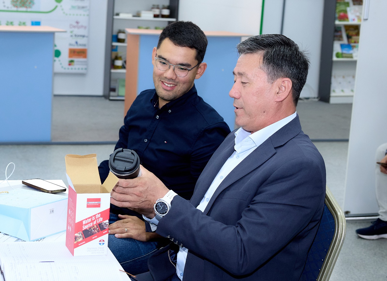
On May 29-30, 2025, a working seminar was held on the basis of the Kazakh National Agrarian Research University (KazNAIU) within the framework of the PFP IRN BR 24993222 program "Building a decision support system for the natural and economic development of the territory of the North Kazakhstan region in the context of sustainable development."
Seminar moderator - Ermekov Farabi Kerimbaevich, Executive Director of the Scientific and Educational Technological Platform KazNAIU, responsible executor of the Program. In his opening remarks, he noted that the purpose of cooperation between UNDP and KazNAIU is to promote integrated land use planning in the North Kazakhstan region using a landscape approach for sustainable regional development.
Seminar moderator - Ermekov Farabi Kerimbaevich, Executive Director of the Scientific and Educational Technological Platform KazNAIU, responsible executor of the Program. In his opening remarks, he noted that the purpose of cooperation between UNDP and KazNAIU is to promote integrated land use planning in the North Kazakhstan region using a landscape approach for sustainable regional development.
Within the framework of the seminar, presentations of current projects and initiatives of UNDP, as well as scientific areas of KazNAIU within the framework of the implementation of this program were presented. The possibilities of integrating solutions into the work of UNDP projects and joint work on a roadmap for interaction between UNDP and KazNAIU were discussed.
Following the seminar, the parties signed a memorandum of understanding between UNDP and KazNAIU.

Business trip to Lanzhou and Beijing
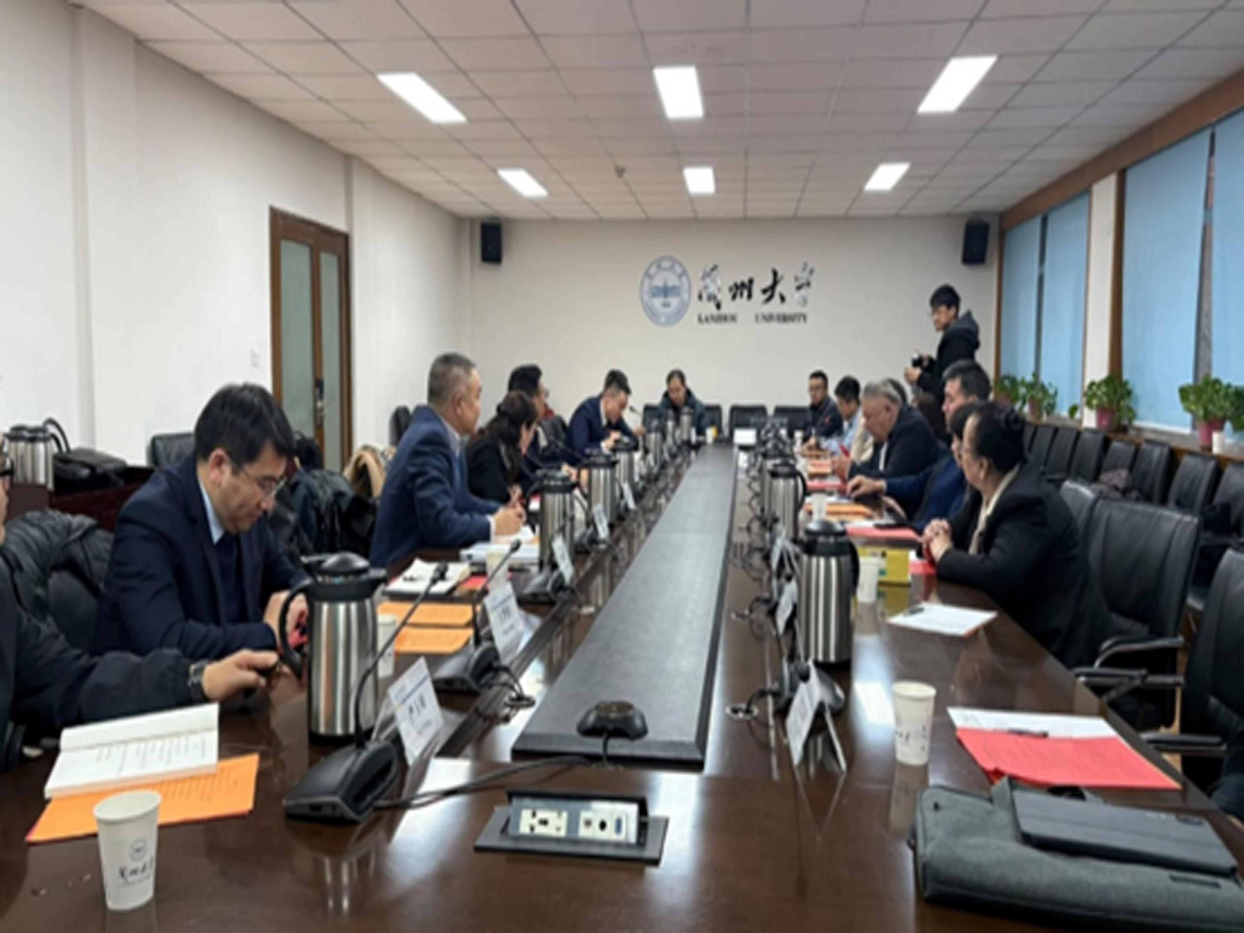
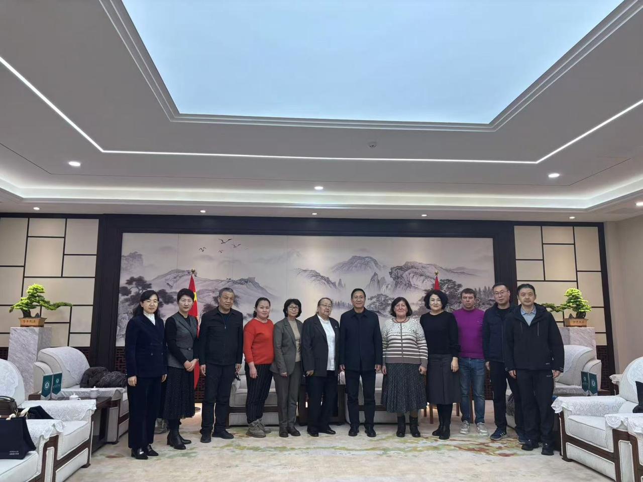
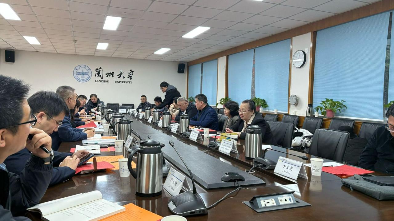
As part of the BR 24993222 program, "Developing a Decision Support System for the Natural and Economic Organization of the Territory of the North Kazakhstan Region in the Context of Sustainable Development," a group of scientists involved in the program, including Yermekov F.K., Imanmadi D., Kerimov U.K., Abdygaliev S.S., Bekturganov A.E., Karabkin N.N., and Seysenbikyzy B., were sent on a business trip to Lanzhou and Beijing, China, from December 8 to 16, 2024. The purpose of the trip: to discuss the 2025 project calendar plan and to reschedule some of the tasks initially planned for 2026 to 2025. These tasks include publishing articles, preparing materials for writing a monograph, and developing an educational program. During the trip, scientists from China and Kazakhstan reached a consensus on formulating joint tasks aimed at implementing the program's calendar plan and strategically planning future collaboration.
Read More


Working visit to the North Kazakhstan region on sustainable development issues
From November 5 to 10, 2024, a team of scientists from the Kazakh National Agrarian Research University conducted a business trip to Petropavl, North Kazakhstan region. The trip was organized within the framework of the program “Creation of a system to ensure solutions for the natural-economic development of the North Kazakhstan region under conditions of sustainable development” (BR 24993222).
Read More
Coordination meeting
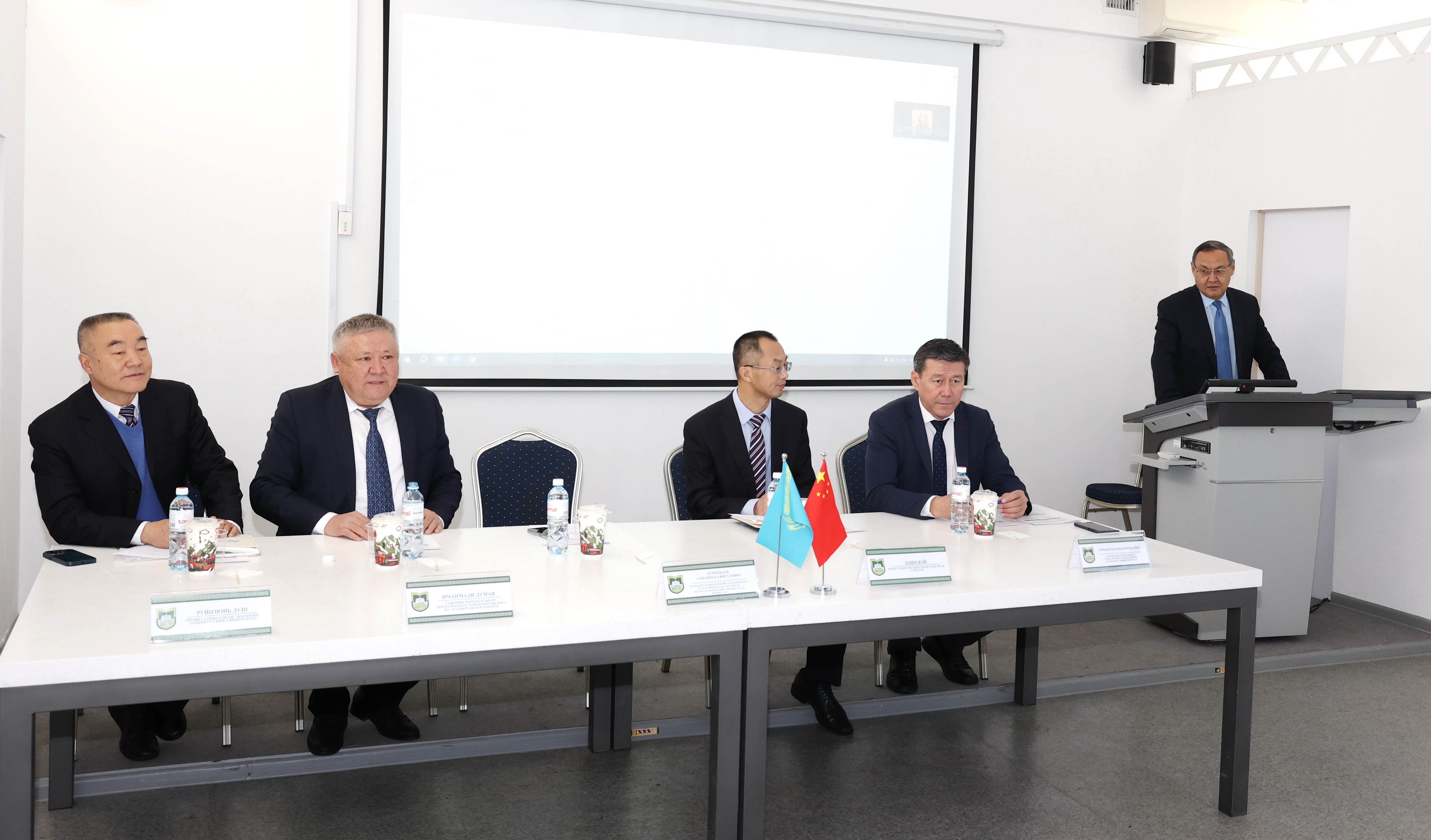
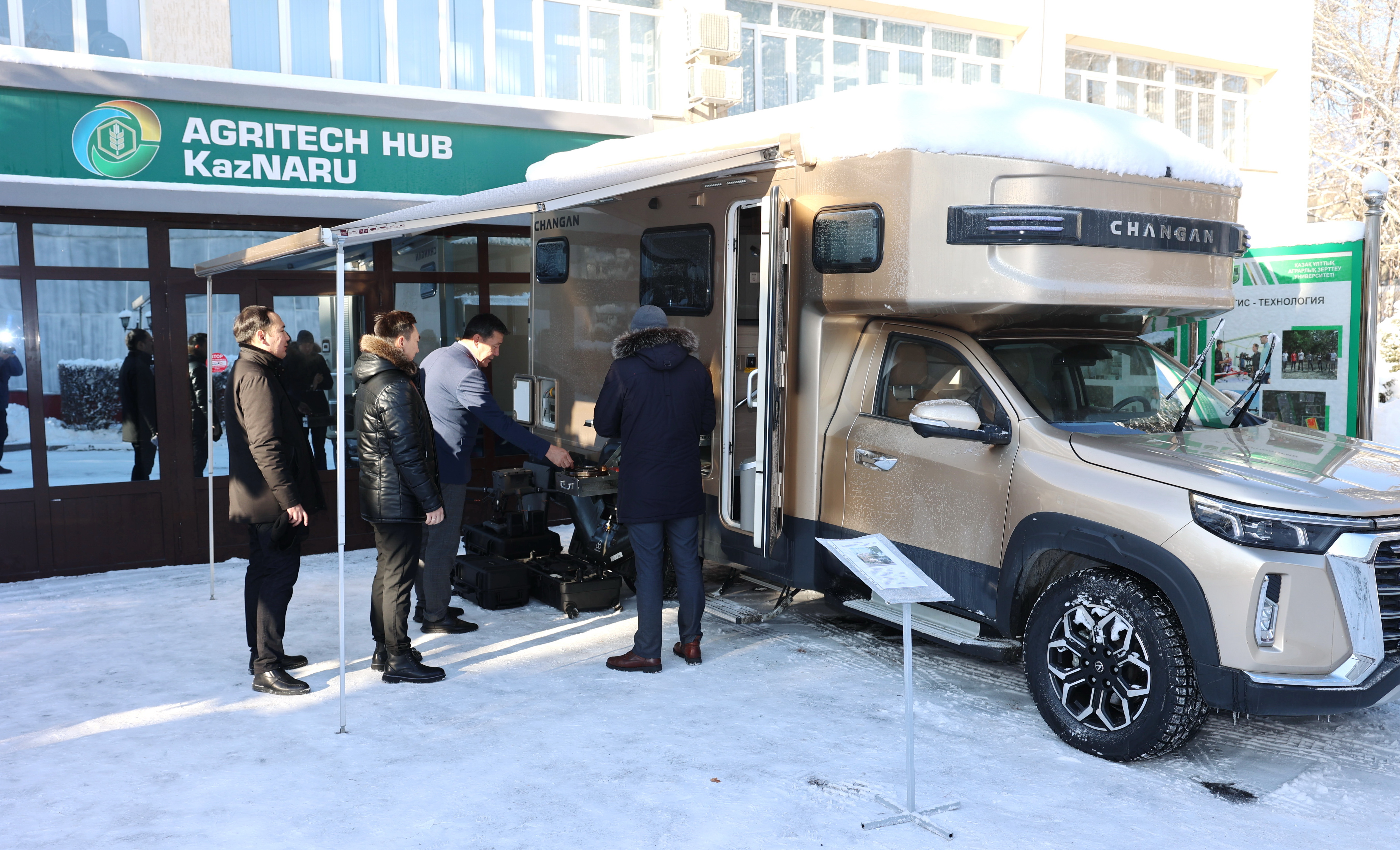
On December 17, 2024, a coordination meeting was held at the Kazakh National Agrarian Research University within the framework of the IRN 24993222 PCF program "Building a decision support system for the natural and economic structure of the North Kazakhstan region in the context of sustainable development."
The meeting of the Coordinating Council was attended by the heads of 12 scientific groups in the areas of the KazNAIU program, representatives of Lanzhou University – Deputy Director of the One Belt, One Road Research Center Ruijun Long, Deputy Director of the Department of International Relations Xuejian Wang, scientists of the College of Earth and Environmental Sciences – Dr. Haijiang Yang, Professor Jie Gong, Dr. Zhengbang Ma, Consul for Technology and Science of the Consulate General of the People's Republic of China in Almaty Zhang Wei, representatives of A. I. Baraev NPCKH LLP - S. S. baisholanov, B. Zhumabek.
The sustainable development of rural areas is characterized, on the one hand, by significant natural resource limitations that shape long-term prospects, and on the other hand, by defining opportunities for the socio-economic development of rural communities, economic diversification, and environmental engineering. The research is based on the hypothesis that the North Kazakhstan region has low transportation, communication, social-demographic, and economic indicators, which together form an insufficient level of economic development in the region. It is expected to have relatively low indicators of economic resilience to natural-climatic, political, and economic fluctuations.
To achieve the set goals, various methods are planned to be applied, including geoinformation mapping, data normalization and aggregation methods, remote sensing using stereoscopic, multispectral, thermal, radar imaging, gravimetry, multi-criteria analytical modeling, analytical hierarchy processes, and the development of a decision support system.
To develop the concept of natural and economic organization of the region, the following objectives will be achieved:
Calendar plan for 2025
Calendar plan for 2024–2026
Report for 2024
Within the program, an analysis of global practices for efficient land development using spatial-landscape arrangement will be conducted. Climate, water, and land resources will be evaluated using modern GIS and remote sensing technologies, including stereoscopic, multispectral, thermal satellite imagery, radar sensing, and gravimetry.
A multi-criteria analytical model will also be organized, incorporating information layers of retrospective and forecast data in time differentiation for labor resources, transport, and communication opportunities, as well as economic efficiency of sustainable development in the studied territories. Based on the obtained data, a series of digital maps for land use and spatial planning will be developed, and the optimal option for spatial-landscape planning will be determined.
The program includes the development of an adaptive concept for the sustainable development of the natural and economic structure of the North Kazakhstan region. This concept includes a set of measures ensuring effective risk management in the context of climate change, geopolitical and economic conditions, as well as natural disasters that negatively impact the region's development and its ecosystem.
One of the key features of the program is the scaling of previously developed land-use technologies (based on GIS, remote sensing, and process-analytical hierarchy methods), creating conditions for the development of irrigated agriculture using meltwater in the North Kazakhstan region, and the establishment of a decision support system (DSS) for regional planning and spatial arrangement.
The DSS will include three specialized modules:
The program implementation will ensure:
As part of the implementation of the program, the following publications and results are planned:
F.K. Ermekov, S.S. Abdigaliyeva, N.V. Jangarasheva, A.D. Omarbekova, G.E. Akhmetkerimova, B.E. Dabylyova
Izdenister, natizheler – Research, Results, №1 (105), 2025, ISSN 2304-3334
DOI: 10.37884/1-2025/28Tianyu Xu, Jie Gong, Zhihui Yang, Yixu Wang, Tiantian Jin, Imanmadi Duman, Ermekov F.K.
Journal: Sustainable Cities and Society, Vol. 131, 2025
DOI: 10.1016/j.scs.2025.106680 Download PDFКенеспаева Л.Б., Тажиева Д.А., Айдарханова Г.Б., Кайранбаева Г.К., Аубакирова Г.Б.
Материалы II Международного конгресса географов тюркского мира, 2025
Download PDFАрыстанов А., Тусупова Б.Х. и др.
Журнал: Вестник ЗКУ, №3(99), 2025
Download PDFBoribay E.S., Tussupova B.Kh., Kyrgyzbay K.Т.
Журнал:Вестник ЗКУ, №2(98), 2025
Download PDFН.В. Джангарашева, Т. Таипов, А. Кизимбаева
Журнал: Проблемы агрорынка, №2, 2025
Download PDFУ.К. Керимова, Чжао Паньпань
Журнал: Проблемы агрорынка, №2, 2025
Download PDFЖ.К. Карысмакова, У.К. Керимова, Г.М. Рахимжанова
Журнал: Проблемы агрорынка, №3, 2025
Download PDFБөрібай Э., Октай К.
Материалы 7-го Международного конгресса тюркского мира по туризму (7th International Turkic World Tourism Congress Proceedings), Гази-Мауса, ТРСК, 21–25 мая 2025 г. ISBN 978-605-9595-72-8
Download PDFСейтасанов И.С., Ишангалиев Т.С., Онласын У.К., Мурат Д., Зулпибекова С.Б.
Журнал: Исследование и результаты, №3 (107), 2025
Download PDFElmira Boribay, Raushan Aknazarova
5th International Congress on Agricultural & Food Ethics, Antalya, Turkey, October 23–24, 2025
Download PDFXuejia Wang, Kun Wang, Jiayu Wang, Yue Yuan, Guojin Pang, Xiaohua Gou, Yijia Li, Qi Wang, Lanya Liu, Baktybek Duisebek, Yermekov Farabi Kerimbayevich, Meixue Yang
Journal of Hydrology: Regional Studies, Vol. 62, 2025
Download PDFЛ.Б. Кенеспаева, Г.Б. Айдарханова, Г.Б. Аубакирова, А.М. Калимурзина, Д.А. Тажиева, Н.М. Құтымова
Хабаршы. География сериясы, №3 (78), 2025
Download PDFА.Е. Бектурганова, Г.Б. Рысмахан, Ф.К. Ермеков, С.С. Абдыгалиева, Д.К. Молжигитова, Б.Е. Дабылова, Ж.К. Алимсеитова
Хабаршы. География сериясы, №3 (78), 2025
Download PDFSeries of maps on demographic indicators of sustainable development of NKR
21.05.2025
Series of maps on social indicators of sustainable development of NKR
21.05.2025
Comparative maps of parks (Yoho, Kootenay, Banff) and Kokshetau, Burabay SNNP
15.04.2025
Utility model, publication date 11.07.2025
Maps of location, physical–geographical state and land use of the Kokshetau SNNP
02.04.2025
Useful information for potential users:
📍 Almaty, 050010, Abay Avenue, 8
📠 Office (fax): +7 (727) 262 11 08
✉️ Email: DSS@kaznaru.edu.kz